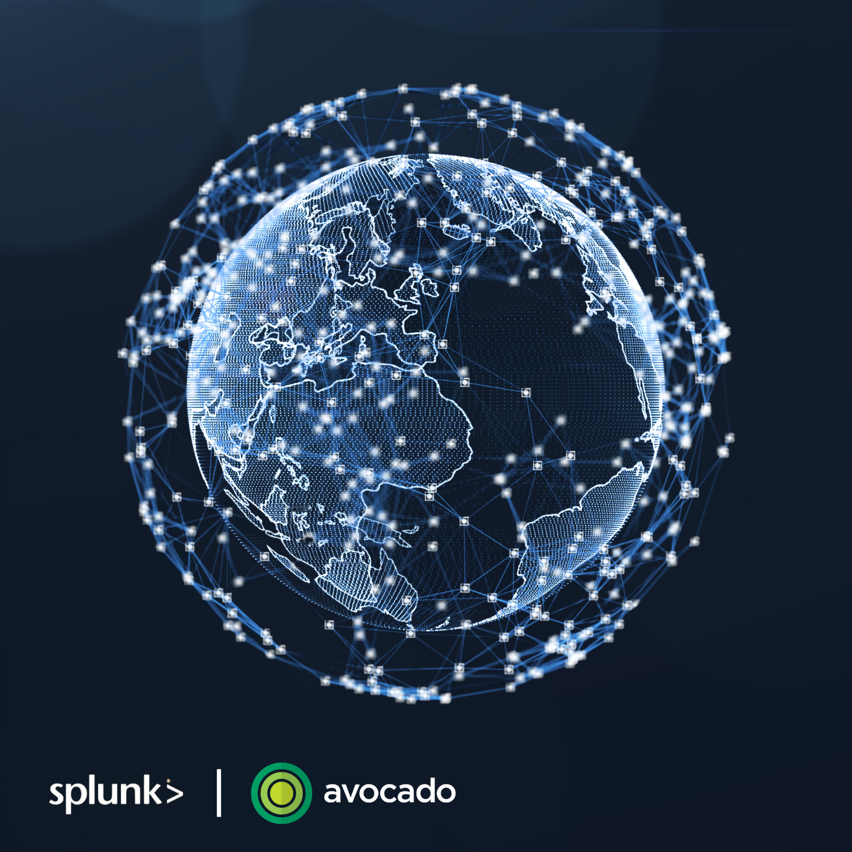
Unlock the Power of Geospatial Data and Visualisation for Enhanced Business Operations in a Complete Solution Delivered in Just Over 4 Weeks.
Are you struggling to manage your geographically dispersed operations effectively? Do you find it challenging to visualise complex datasets and enhance operational planning across multiple regions?
Geospatial visualisation enhances resource allocation, asset monitoring, and incident response across multiple locations – giving organisations a strategic edge. Without custom mapping and visualisation tools, critical insights remain hidden within complex datasets, limiting their utility for decision-making. With versatile applications across various industries, including healthcare, education, logistics, and cybersecurity organisations can unlock a new level of data insight to get a comprehensive view of their operations across multiple locations, improving operational efficiency and security posture.
Powered by Splunk Cloud, teams are enabled with intuitive, actionable visualisations to improve resource allocation, enhance operational planning, and respond to threats more effectively.
Our Geospatial Mapping and Visualisation Starter Pack empowers you to build custom geospatial dashboards for visualising data across various scales, from building rooms to country-wide maps. This package enables you to manage your platform effectively without ongoing service costs, leaving you with a robust system you can confidently maintain.
What you get
- Comprehensive Implementation: We handle the entire setup process so you can start realising the benefits of real-time business intelligence almost immediately.
- No Hidden Costs: Our package is a one-off cost to get you started. This all-inclusive package has no hidden fees or long-term service contracts.
- Seamless Integration: This solution provides seamless integration with geospatial data sources, dashboards to track real-time performance, and tailored alerts to monitor critical events.
- Empowered Independence: Once we finalise implementation, we provide you with the tools and knowledge to confidently manage a fully operational geospatial monitoring solution on your own. This includes delivering detailed documentation for effective management and scaling.
Sign up today to enquire about our Geospatial Mapping and Visualisation Starter Pack!
Proven Results
Gain Competitive Advantage
Organisations that leverage geospatial insights can better anticipate and respond to challenges, giving them a strategic edge.
Enhanced Decision-Making
Enables informed operational and strategic decisions based on visual data. By visualising data geographically, organisations can make more informed decisions.
Improved Data Visualisation
Simplifies complex datasets into actionable geospatial insights.
Improve Efficiency
Custom dashboards tailored to specific needs help streamline operations and reduce the time spent on data analysis.
Experience these Geospatial Mapping and Data Visualisation Benefits
Tailored Dashboards
Standard dashboards often fail to meet specific localisation or geographical needs. Our tailored custom maps are designed to meet specific business needs, such as room usage or geographical tracking.
Data Source Integration
Integrates various data sources to create detailed geographical dashboards.
Custom Alerts
Development of custom alerts for actionable insights.
Intuitive Interfaces
Facilitates executive-level and operational decision-making through intuitive visual interfaces.
Proactive Threat Detection and Incident Response
Mapping threats and incident response locations help in identifying vulnerabilities and respond to threats more efficiently.
The Splunk and Avocado Difference
Expert Support and Knowledge Transfer
- Expert Support and Knowledge Transfer: Benefit from our extensive experience and delivery expertise, ensuring a smooth and efficient implementation process and transition to your team.
- Empowered Teams: Receive hands-on training and ongoing support, empowering your IT team to manage and optimise your monitoring solution.
- Robust Experience: With decades of experience and a vast knowledge base, Avocado delivers the skills needed for complete visibility to help you harness the full potential of your data.
- Business Embedding Framework: We ensure the transfer of knowledge, governance, and best practices for long-term resilience through structured, documented practices.

Ready to gain a strategic edge in your operations and threat defence? Take the first step to enhanced operational planning today.
Starting from $66,278 AUD (licence included). This all-inclusive package covers the implementation and setup of Splunk Cloud, including a 5GB licence for monitoring up to 100 devices.
Ready to take the next step? Contact us today to schedule a demo and see how our Geospatial Mapping and Visualisation Solution can revolutionise your operations.
Who should consider the Geospatial Mapping and Visualisation Starter Pack?
- Organisations with Geographically Dispersed Assets: Geospatial visualisation helps in efficiently allocating resources and managing operations across multiple locations.
- Organisations Seeking Operational Efficiency: Streamline operations and reduce inefficiencies across localised or large geographic regions with better resource allocation.
- Decision-Makers: Access trends and insights that are not apparent in traditional data formats, enabling situational awareness for more informed strategic decisions.
- Cybersecurity Teams: Strengthen security posture by mapping threats and incident response locations, identifying vulnerabilities, and responding to threats more efficiently.
- Organisations Needing Spatial Analysis: Understand the spatial relationships and dependencies between various assets and activities for better operational planning.
- Key Sectors operating in demanding environments: Utilities, healthcare, education, logistics, environmental management, and emergency services.

Our Geospatial Monitoring Clients

Why choose a starter pack?
- Time Efficiency – Your starter pack is implemented quickly (roughly one month) so you can start realising value right away.
- Reduced Risk – Pre-tested and validated use cases reduce the risk of implementation issues and white elephants.
- Cost Savings – Starter packs are an all-inclusive professional service combined with a Splunk license minimising the need for additional development resources, leading to lower overall costs.
- Empowered Users – Avocado leverages our proven frameworks and documentation to support knowledge transfer and ongoing adoption within your organisation.
- Customisation – While we solve common issues, our solutions are tailored to meet specific customer requirements – our experts get in there and resolve their problems.
- Scalability and Flexibility – Easily scalable solutions that can grow with your organisation’s needs, while allowing for adjustments and changes as needed.


